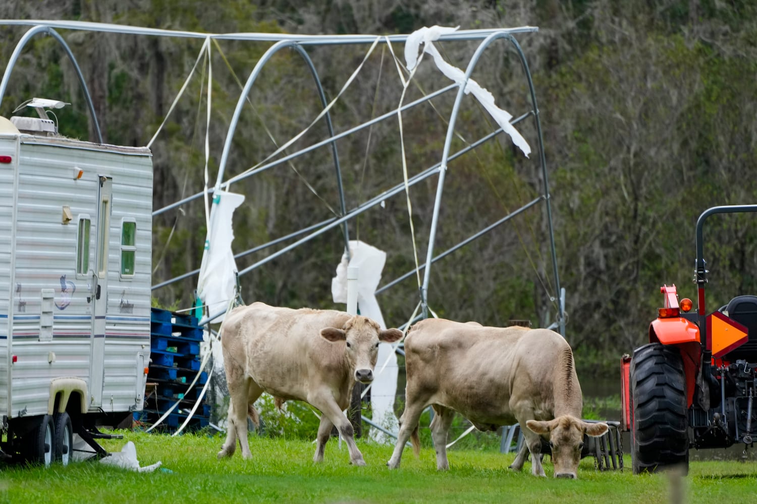
Storm surge warnings are in effect along Georgia’s southern coastline Thursday morning as Hurricane Milton exits Florida, leaving death and destruction in its wake.
The powerful cyclone made landfall as a Category 3 storm around 8:30 p.m. Wednesday near Florida’s Siesta Key, a barrier island in the Gulf of Mexico off the coast of Sarasota, the National Hurricane Center said. At that level, it still qualified as a major hurricane, but it was down from its Category 5 peak.
As of the NHC’s 5 a.m. update Thursday, the now-Category 1 storm’s center sat just off the Florida coast about 10 miles to the east of the Cape Canaveral Space Force Station. It was moving at about 18 mph with sustained winds of 85 mph.
It is forecast to continue east into the Atlantic, but its counterclockwise motion is expected to push water onto the coasts from central Florida all the way to the Altamaha Sound in Georgia. A storm surge of 3-5 feet is expected there.
In Florida, Gov. Ron DeSantis said during a Thursday morning news conference that the storm was “significant, but thankfully, this was not the worst-case scenario.”
“The storm did weaken before landfall, and the storm surge as initially reported has not been as significant overall as what was observed for Hurricane Helene,” he said, but added that water could continue to rise for days.
Sarasota County had the highest storm surge at 8 to 10 feet, the governor said. With Helene, surges grew to 15 to 20 feet in Taylor County, Florida.
Still, widespread devastation has been left behind after Milton ravaged the peninsula, spawning several tornadoes that left multiple people dead. Just in the Fort Pierce area, authorities have confirmed four people were killed when a tornado broke out before Milton even made landfall, The Associated Press reported.
It’s not unusual for tornadoes to occur amid hurricanes, but the number and intensity were out of the norm, Channel 2 Action News meteorologist Brian Monahan said. And with the National Weather Service’s Florida offices issuing 126 tornado warnings Wednesday, it was “the second-most tornado warnings in a day, any time of the year, any place,” he said. “That is so unusual.”
Tornado warnings mean only that one has been sighted or indicated by weather radar, according to the NWS. Several were confirmed to have touched down Wednesday.
At least 3 million customers have been without power across Florida, according to the AP. Just in the Tampa area, the electric company listed nearly 600,000 customers without power as of 6 a.m. Thursday. It said it had mobilized 5,000 utility workers to help restore power.
At its peak strength, with 180 mph wind, Milton was the fifth-strongest storm in the Atlantic basin on record and the strongest late-season storm ever recorded, according to the National Oceanic and Atmospheric Administration. It was this season’s second Category 5 cyclone.
There have only been five other years since 1950 in which there was more than one Category 5 hurricane, NOAA reported. Most recently, 2019 and 2017 saw two Category 5 storms each. There were two in 2007 and four in 2005. Decades before that, in 1961, two Category 5 storms developed.
About the Author


