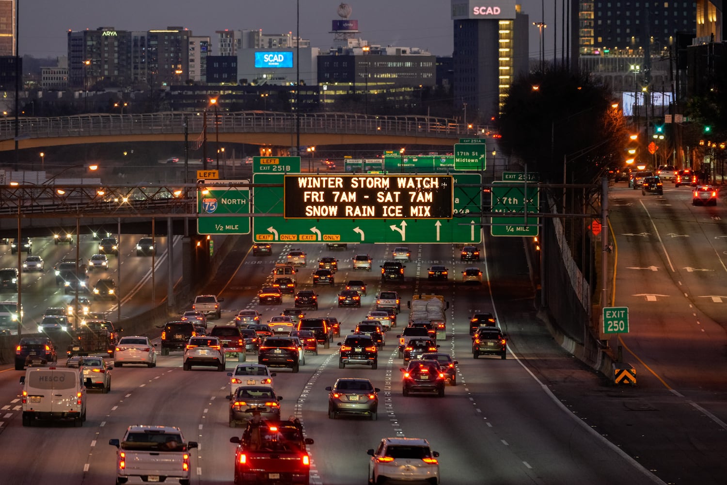
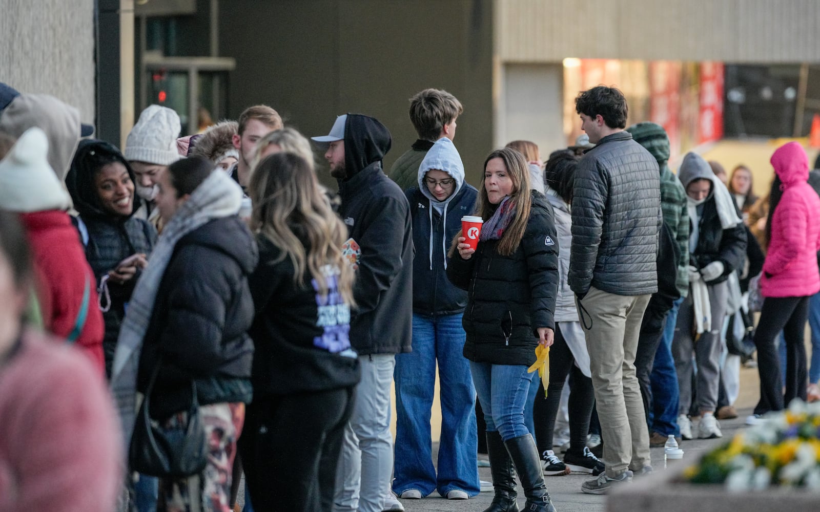
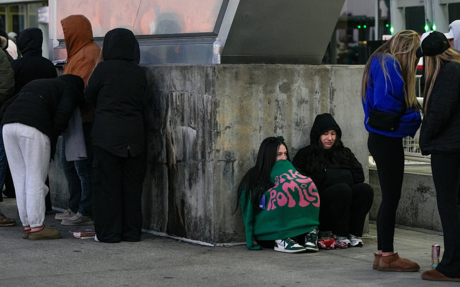
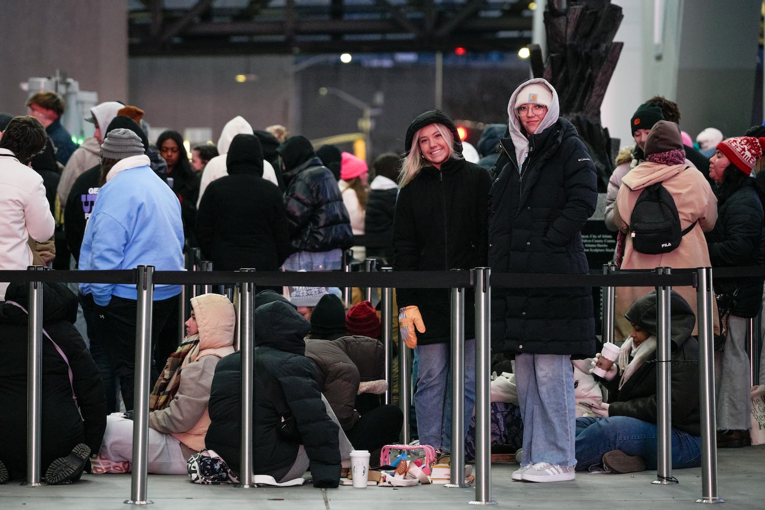
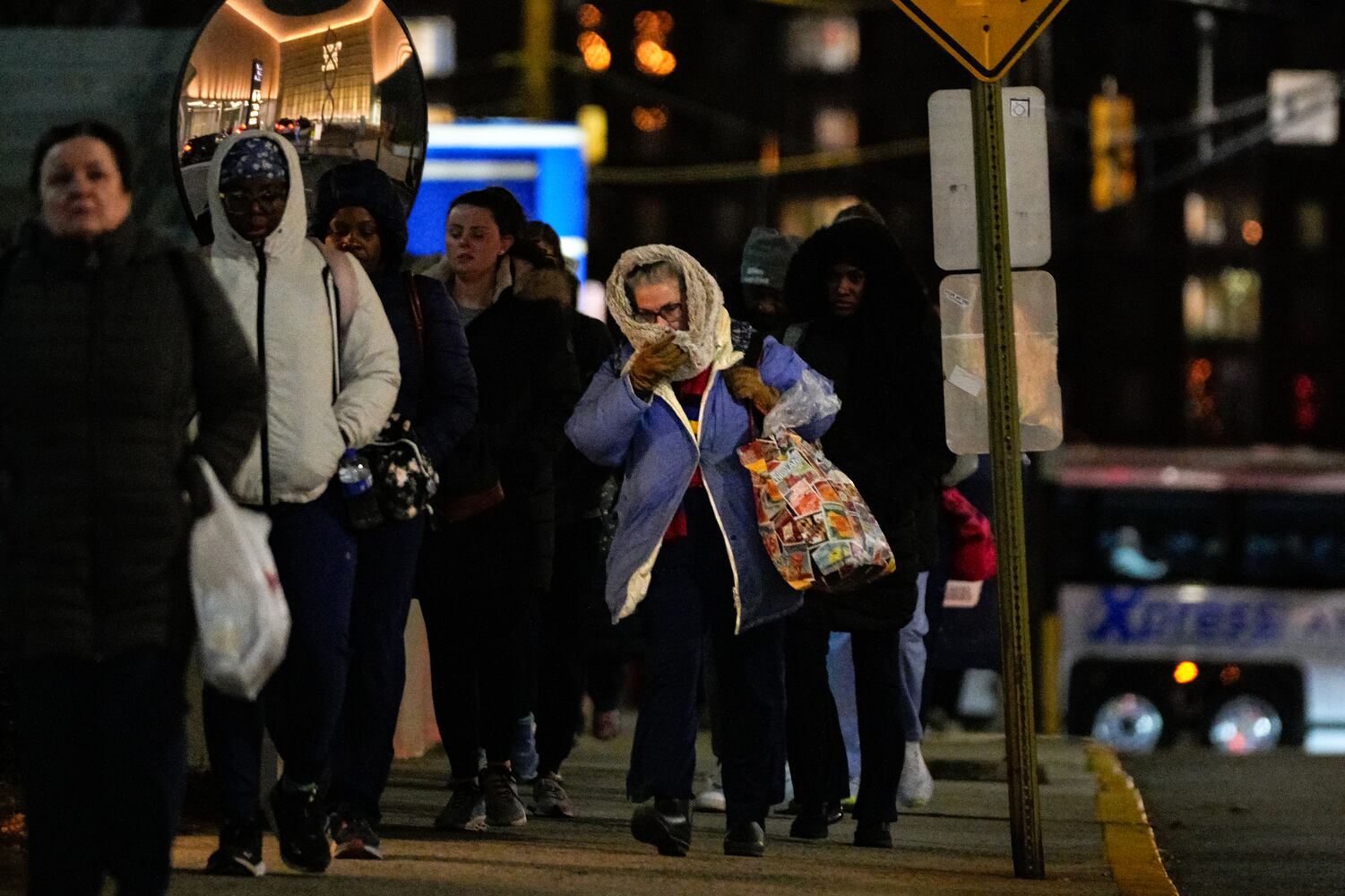
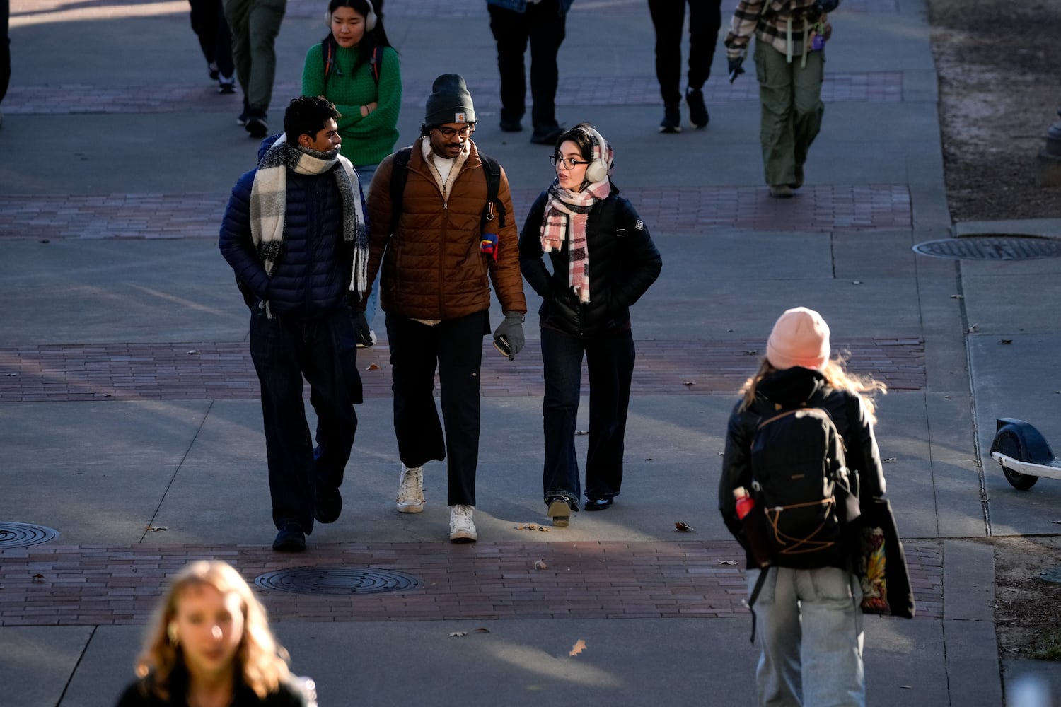
Gov. Brian Kemp has issued a state of emergency ahead of the severe winter weather expected to start in metro Atlanta in the overnight hours, though forecasts are now calling for less snow to reach the area.
Still, freezing temperatures could lead to slick, hazardous road conditions.
The state of emergency, which coincides with one already issued upon the death of President Jimmy Carter, is set to expire Jan. 14. It authorizes all state resources to “be made available to assist in preparation, response and recovery activities throughout affected areas.”
It also authorizes the Georgia Emergency Management and Homeland Security Agency to activate its emergency operations plan.
“I’m asking all Georgians to help them do their jobs by limiting travel as much as possible in the coming days,” Kemp said in a statement. “Hazardous conditions, including ice and snow, can develop quickly and make travel very dangerous. Plan ahead and stay tuned to updates from state and local officials to ensure you and your loved ones remain safe while our first responders continue to work tirelessly throughout this weather event.”
The Weather Service has upgraded its winter storm watch to a warning, in effect from 7 a.m. Friday to 7 a.m. Saturday. It was an anticipated development and includes all of North Georgia from the Tennessee and North Carolina lines, down through metro Atlanta into Griffin and as far southwest as Heard County and southeast as Lincoln County. It also stretches across several states, from Texas to Virginia.
According to the Weather Service, a watch means conditions are favorable for a winter storm to occur but uncertainties remain. A warning means the event is imminent, likely or currently occurring, and that conditions pose a threat.
A winter weather advisory has also been issued and includes a band of counties between the Alabama and South Carolina borders and stretches from Griffin and Macon. Areas further south of that band are under a hazardous weather watch, and a freeze warning is in place for a portion of South Georgia.
Forecasts are still being fine-tuned. Projections call for metro Atlanta to get less than an inch of snow and for North Georgia to get up to 3 inches. Experts initially forecast up to 3 inches in the city with up to six or more in the northern half of the state.
Snow is still expected, though projections are down to less than an inch in metro Atlanta and forecasts are still being fine-tuned. Experts initially forecast up to 3 inches.
North Georgia can now expect up to 3 inches with more in higher elevations, where freezing temps will linger.
GEMA is urging the public to stay home Friday until Sunday. Several metro Atlanta school districts, including Cobb and DeKalb counties, and colleges, including the University of Georgia, will close their buildings Friday,
While meteorologists are still monitoring forecast models for the exact timing of the snow’s arrival, Channel 2 Action News meteorologist Brian Monahan said ice and snow are expected to arrive in parts of west Georgia between 4 a.m. or 5 a.m.
The storm will then quickly move east, bringing snow and freezing rain to parts of metro Atlanta and North Georgia between 8 a.m. and noon, he said.
By noon, any snowfall should fully switch over to freezing rain, which will create icy conditions and hazardous roads. Up to a quarter of an inch of ice is projected in most parts of metro Atlanta, according to the Weather Service.
A pocket of warm air in the atmosphere will drive the transition to rain, Monahan said.
It’s “like a little bubble of air just above the ground,” he said, explaining that snow happens when temperatures throughout the atmosphere stay at or below freezing.
Those are the conditions that will make it favorable for snow in areas north of I-20 on Friday morning.
But as the day wears on, the pocket of warm air is expected to develop about 3,000 to 5,000 feet above the ground, Monahan said. That will cause the snow to melt into rain and then refreeze upon reaching the ground, as temps will be at or near freezing for much of the day. Friday’s projected high in Atlanta is 33 degrees.
State and local governments have begun preparing in an effort to avoid another “Snowpocalypse” disaster that, in 2014, stranded hundreds of drivers on slick roads after 2.6 inches of snow was dumped onto the city.
Transportation crews have been prepping roads for ice during Thursday’s early morning hours. Salt had been spread on some downtown Atlanta streets near the Georgia Capitol building. Officials have said that thousands of gallons of brine are being spread across priority roadways first, particularly bridges and overpasses that freeze over easily.
GDOT spokesperson Natalie Dale told Channel 2 that the agency now has the capacity to store 1.7 million gallons of it and can produce 60,000 gallons in an hour — a stark contrast to its inability to stockpile large amounts of brine in 2014.
State offices within the affected areas, including Columbus, Macon and Augusta, will be closed Friday. Some school districts have already announced closures or virtual learning days, and many events and after-school activities have been canceled or postponed.
Certain health systems have announced clinic closures, too. DeKalb Public Health regional health centers will be closed Friday, as will Grady clinics and neighborhood health centers. Grady Memorial Hospital will remain open, with hospital leadership and emergency management teams closely monitoring the weather conditions, a spokesperson said.
Warming centers have opened across the metro area for those needing to seek shelter.
The storm that is coming to Georgia is part of the same system that produced the high winds that fueled wildfires in California.
High pressure associated with dry weather and windy conditions clashed with a low pressure system there, which made winds even stronger. That low pressure system, associated with rain and inclement weather, has drifted east and is over Texas on Thursday, where it is expected to dump about 5 inches of snow. It will then continue its eastward track up the northern coast of the Gulf of Mexico, pushing moisture into the already cold air over the Peach State.
Metro Atlanta warming centers
The city of Atlanta will open its warming shelters starting Thursday at 8 p.m. through 8 a.m. Sunday morning. They include:
» Selena S. Butler Park at 98 WM Holmes Borders Drive for women and children only;
» Central Park Recreation Center at 400 Merritts Ave. for men only;
» The Old Adamsville Recreation Center at 3404 Delmar Lane for overflow.
In DeKalb, four warming centers will be open 24 hours a day until further notice. They include:
» Frontline Response International at 2585 Gresham Road;
» Tobie Grant Recreation Center at 593 Parkdale Drive;
» Mason Mill Recreation Center at 1340 McConnell Drive;
» Exchange Recreation Center at 2771 Columbia Drive.
An overnight warming center will be available at the North DeKalb Senior/Community Center, located at 3393 Malone Drive.
Gwinnett’s warming stations will open at least through Friday starting at 6 p.m. They include:
» Buford Senior Center at 2755 Sawnee Ave.;
» Shorty Howell Park Activity Building at 2750 Pleasant Hill Road;
» Best Friend Park Gym at 6224 Jimmy Carter Blvd.;
» Centerville Senior Center at 3025 Bethany Church Road;
» Lawrenceville Senior Center at 225 Benson St.
In Cobb, MUST Ministries will open its winter weather shelter nightly at least through Friday. Those looking to spend the night should check in by 8 p.m., the organization said. Dinner and a hot breakfast will be served. The shelter is at 1297 Bells Ferry Road in Marietta.
About the Author
