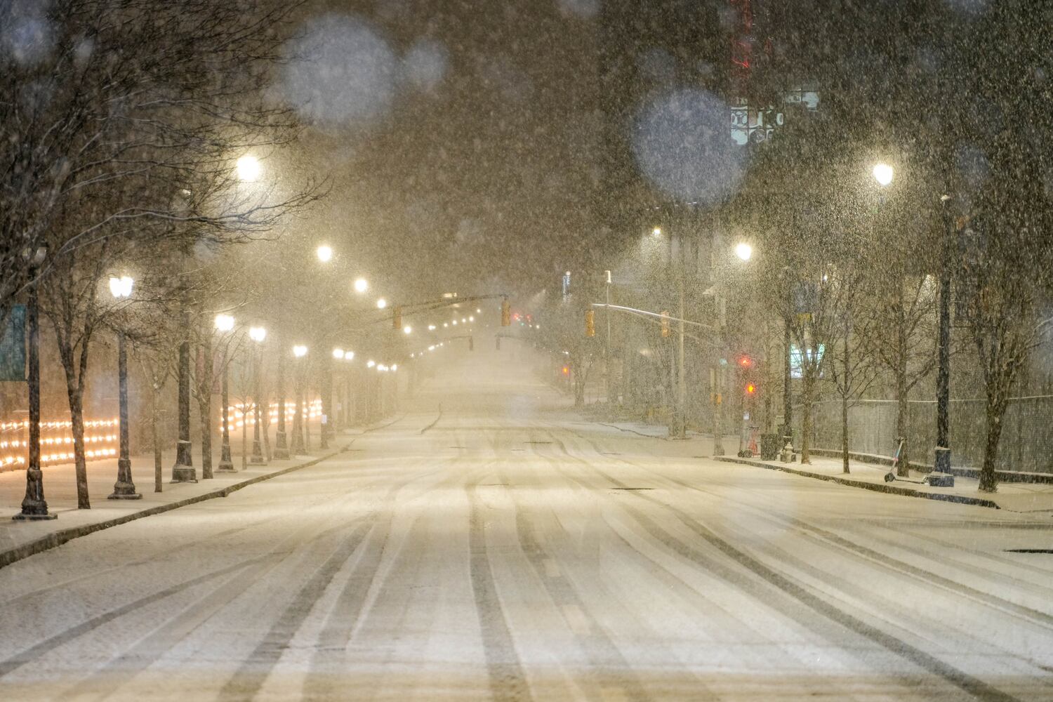
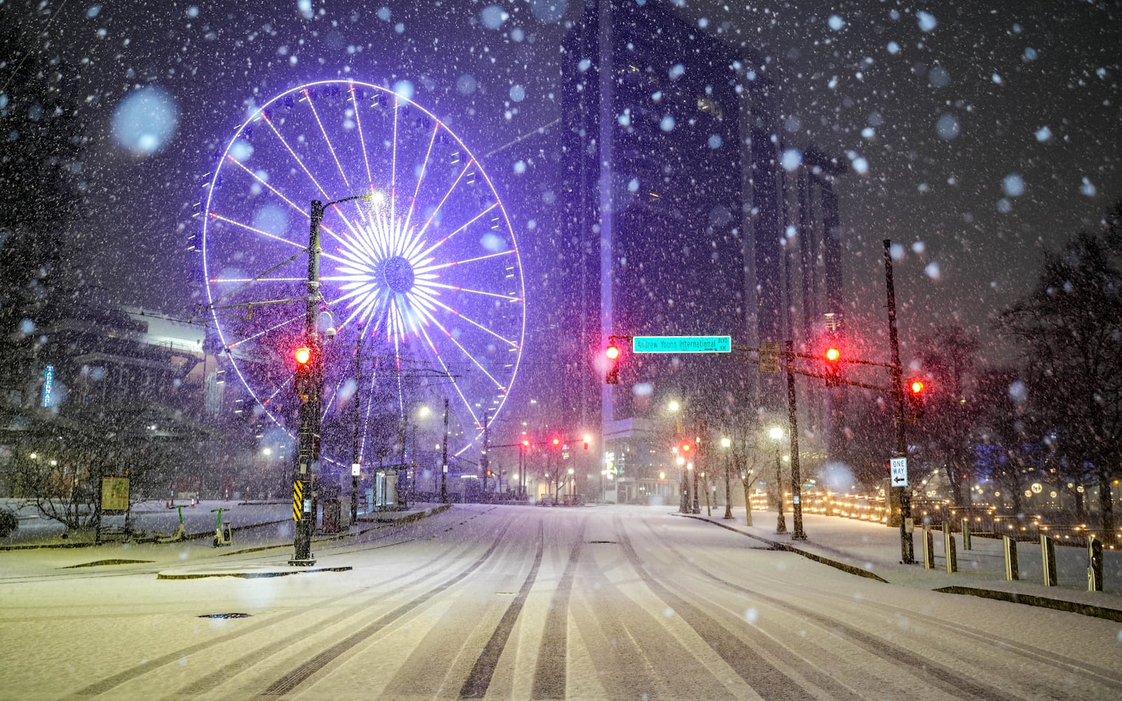
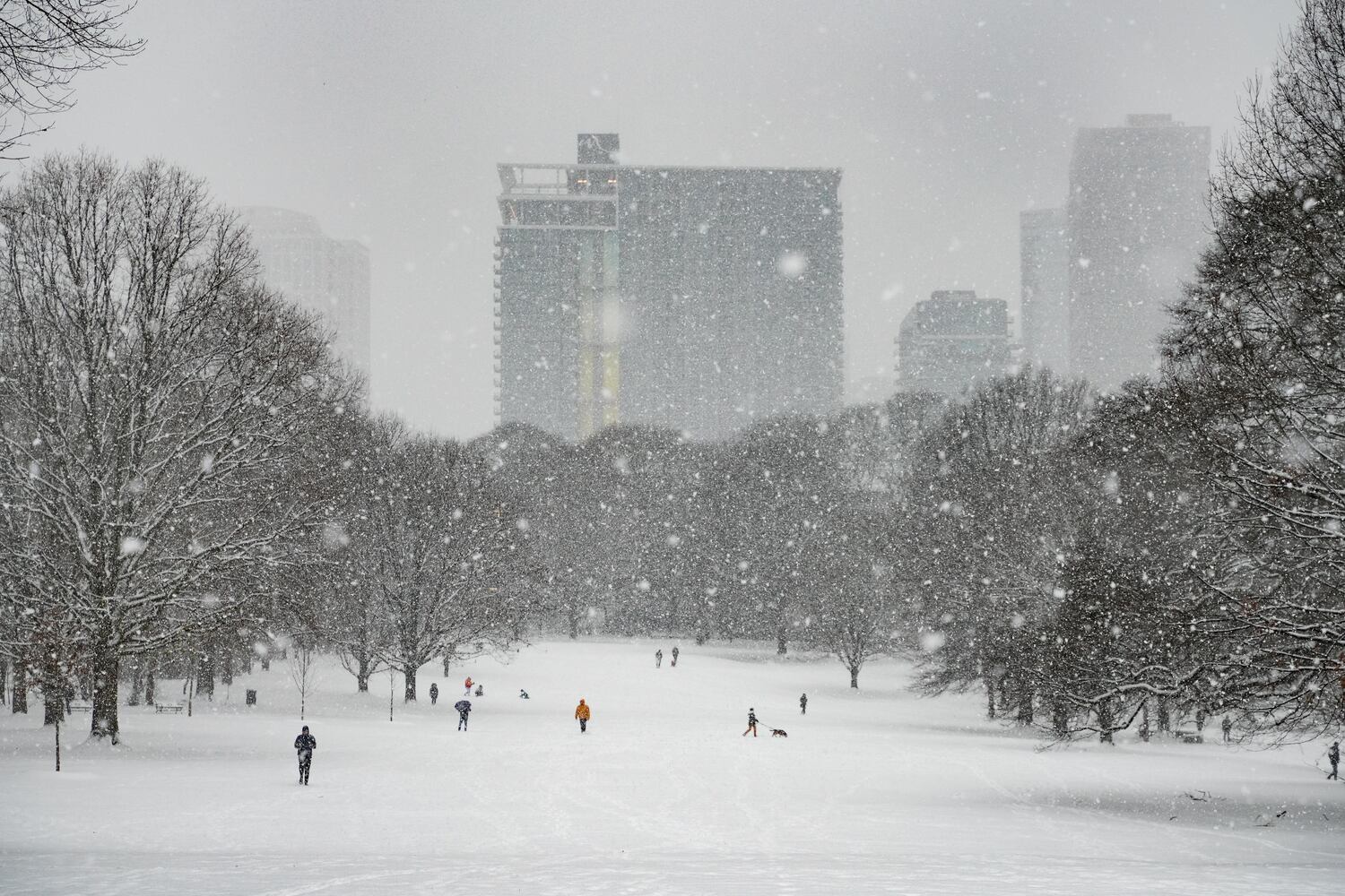
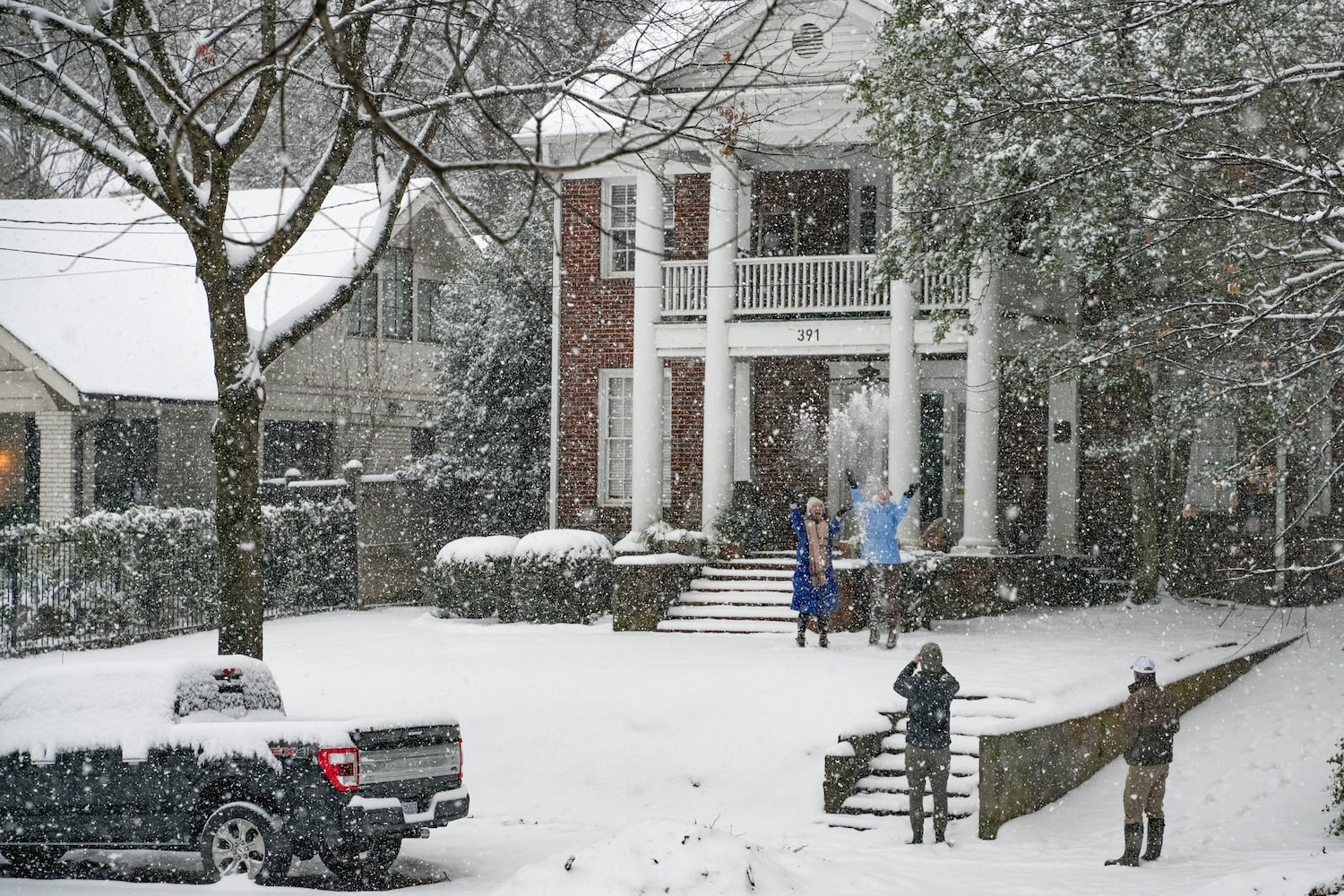
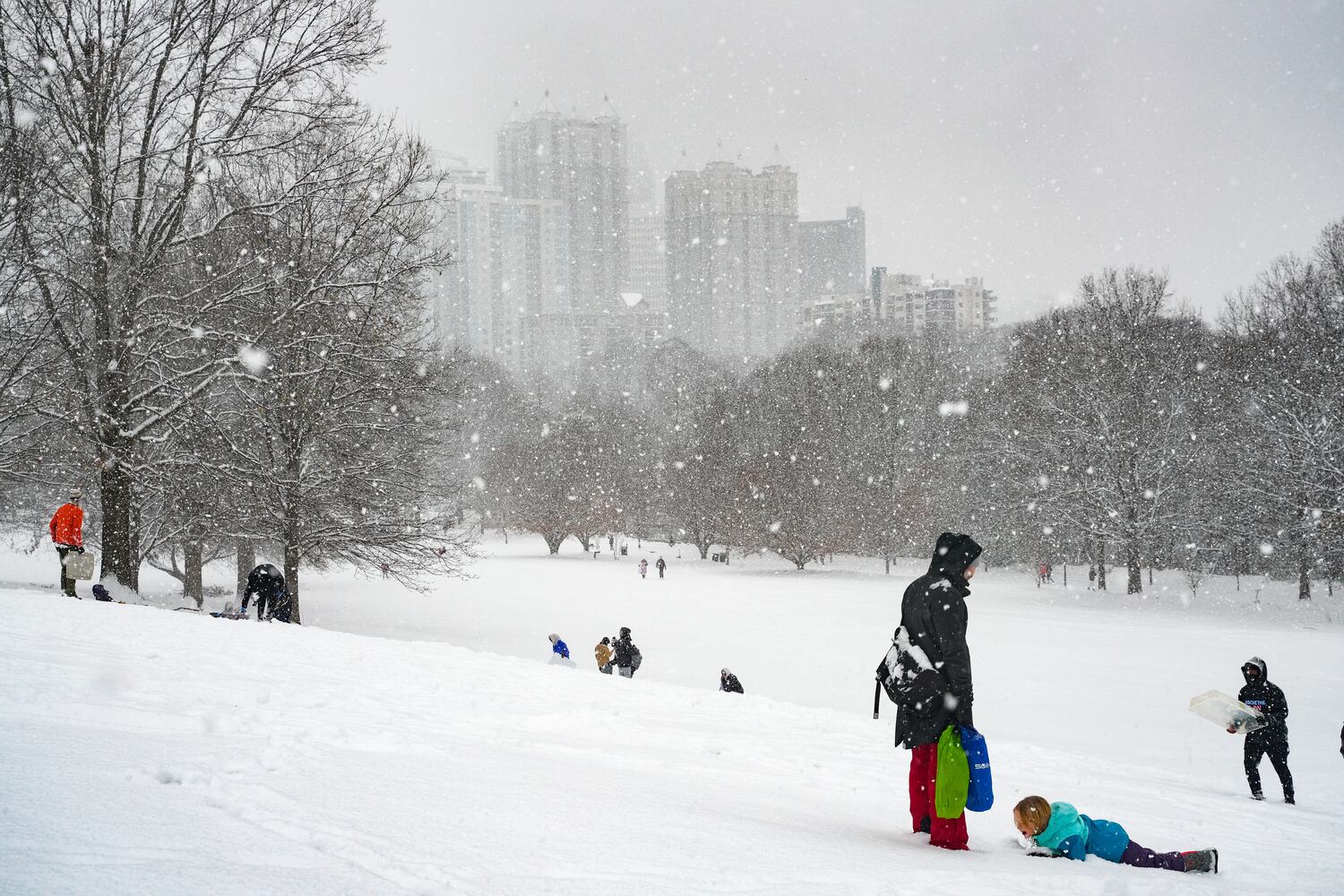
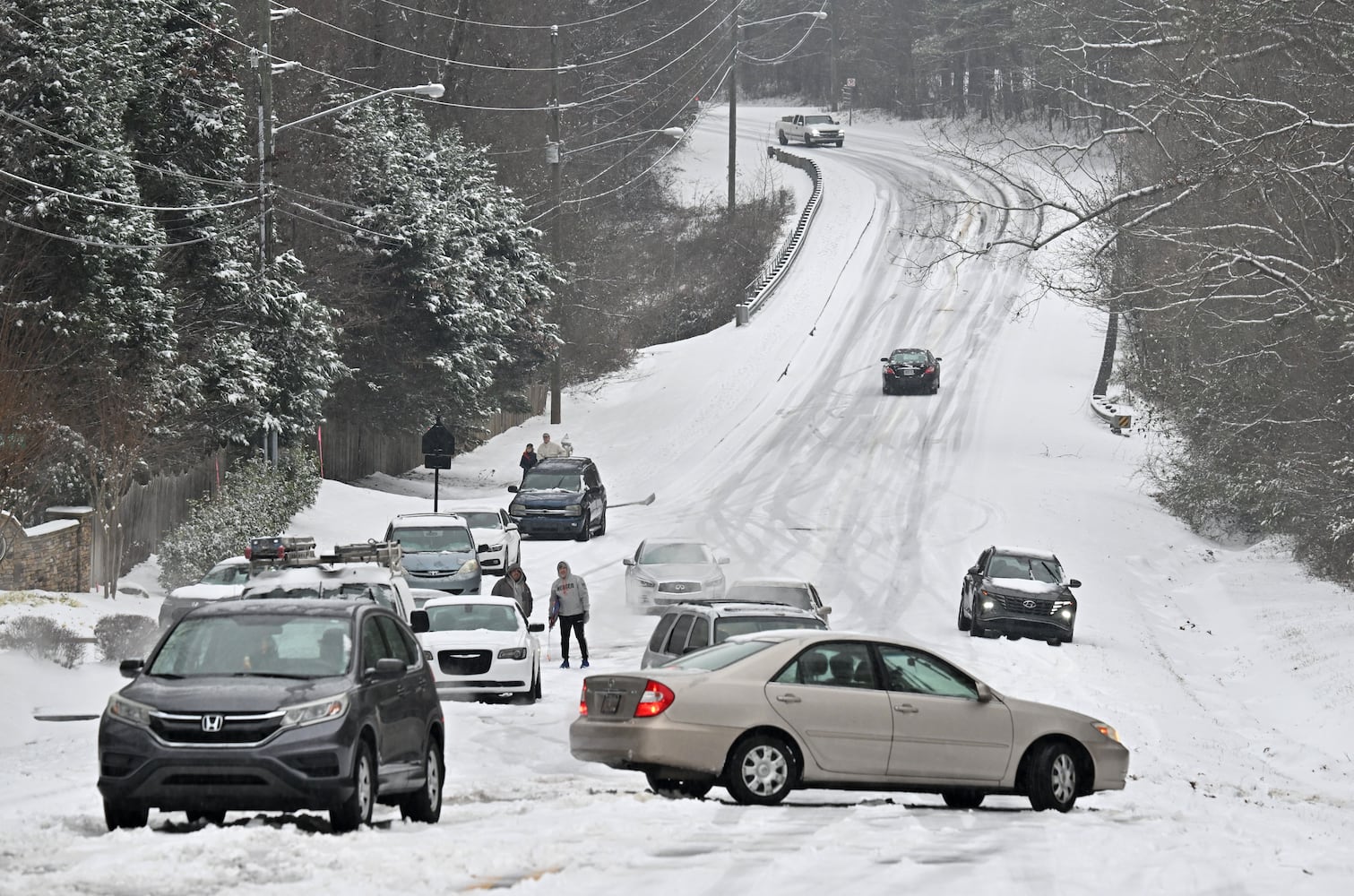
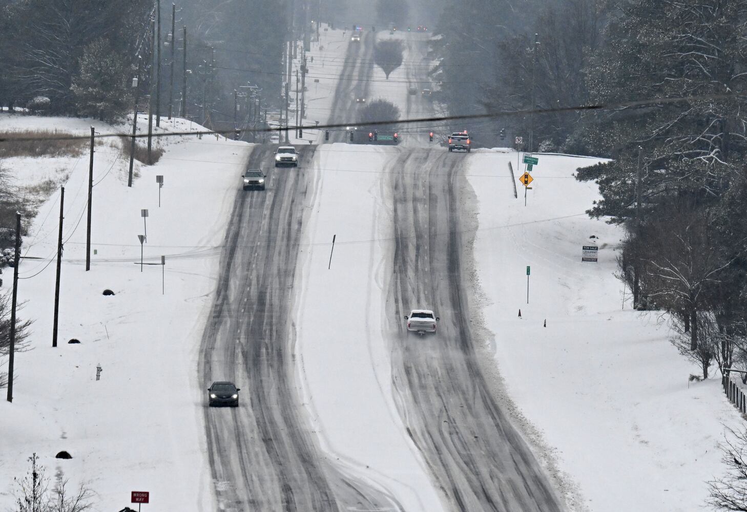
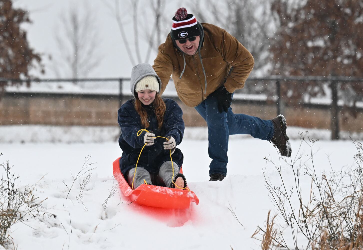
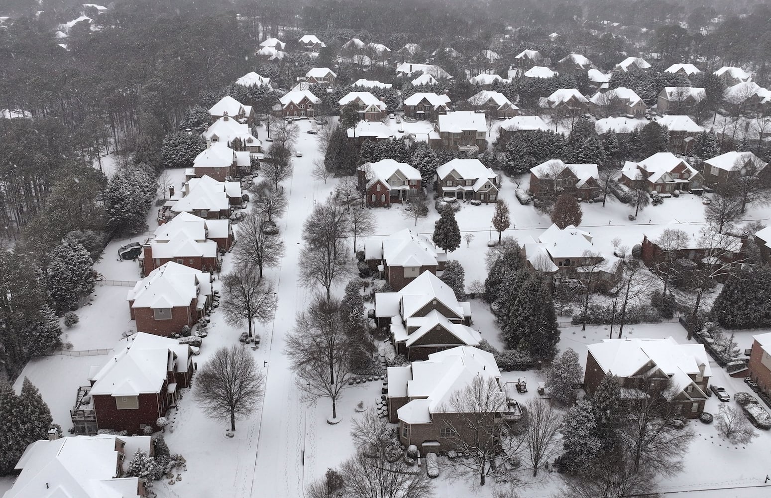
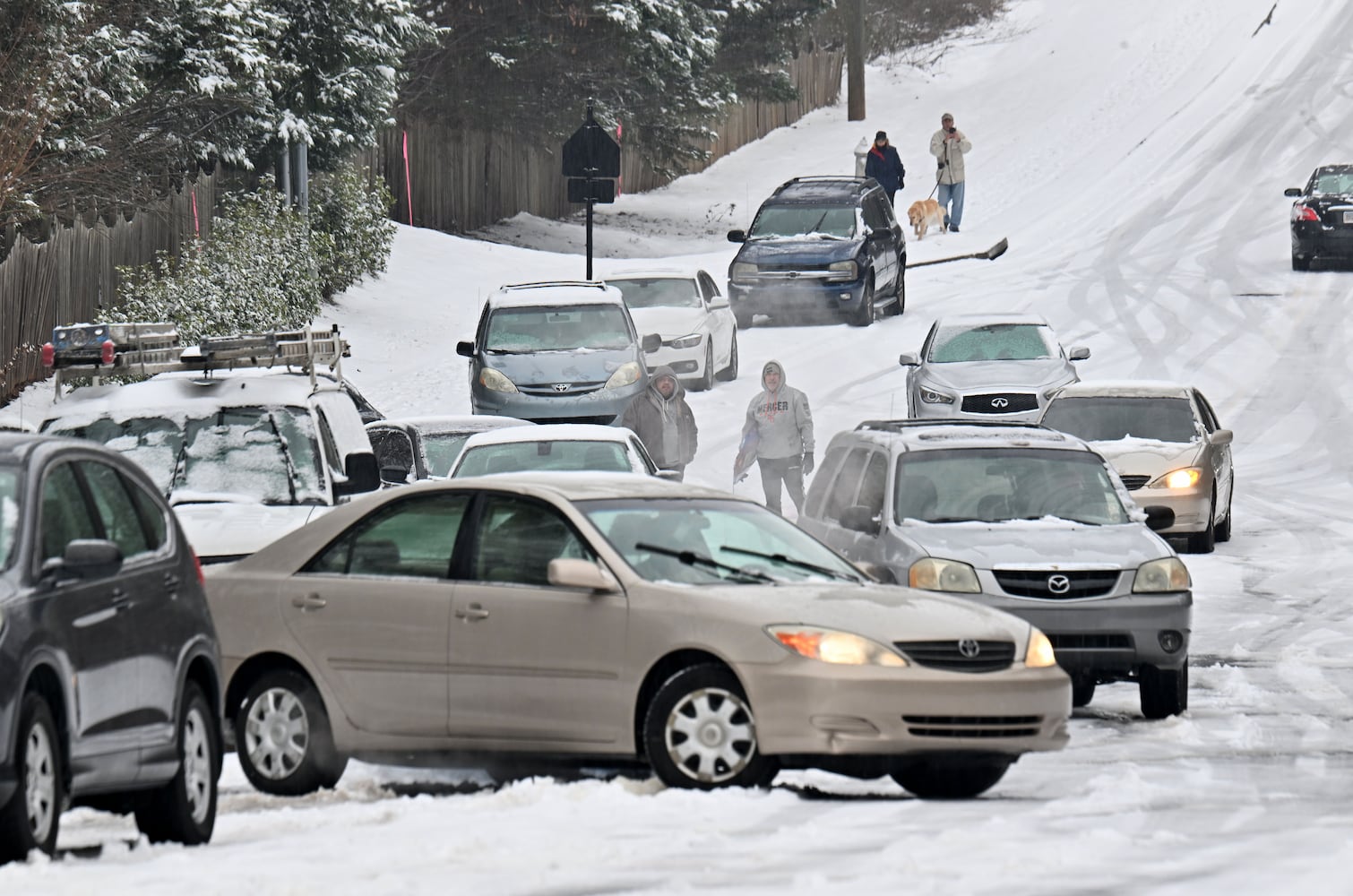
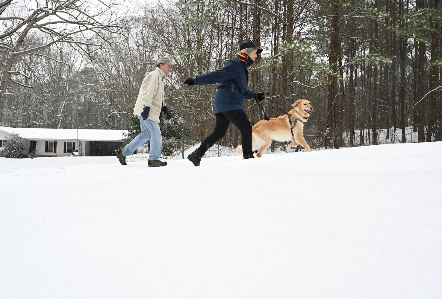
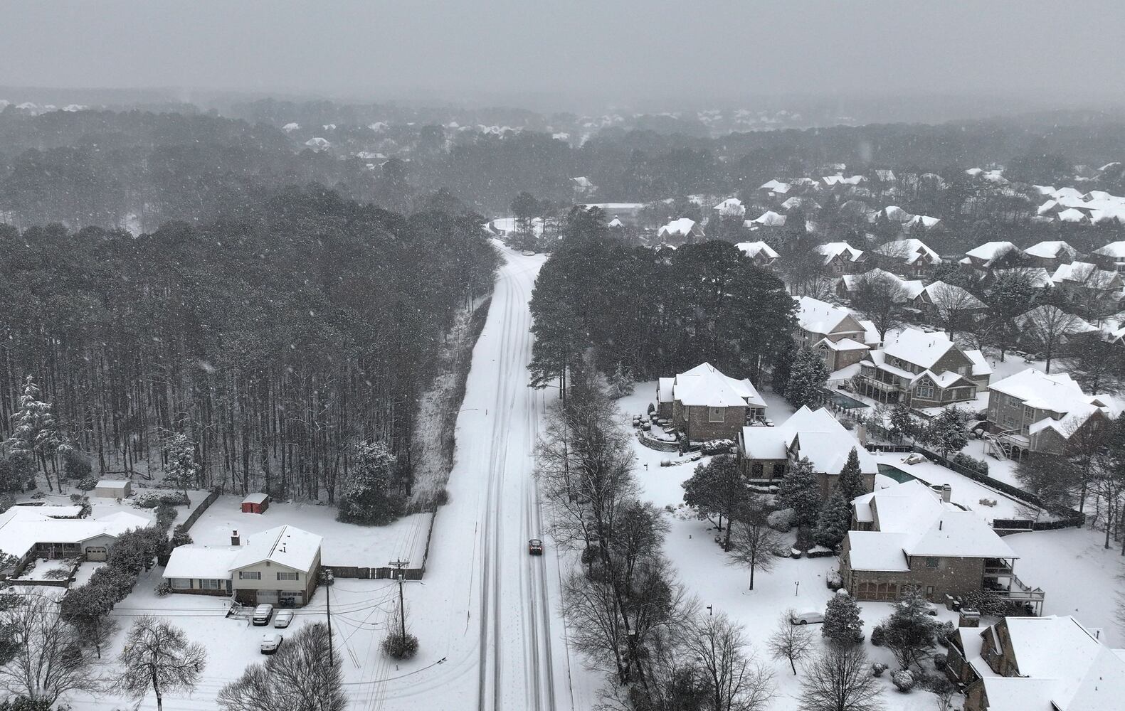
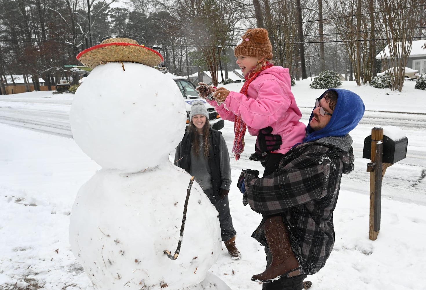
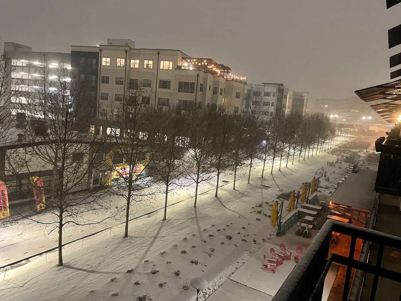
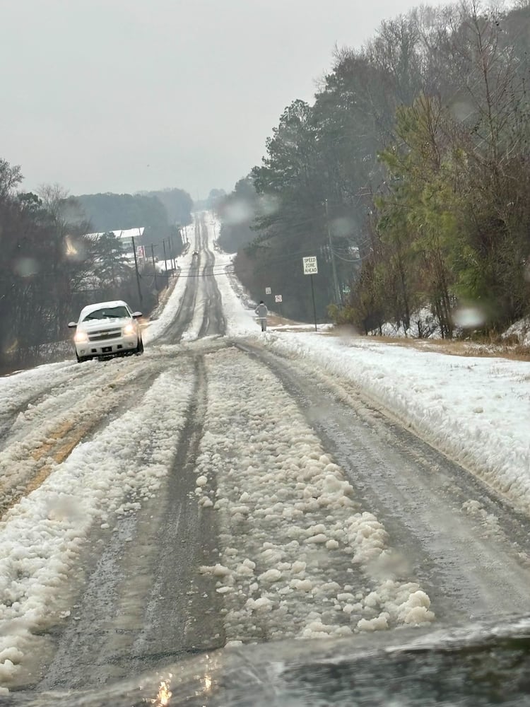
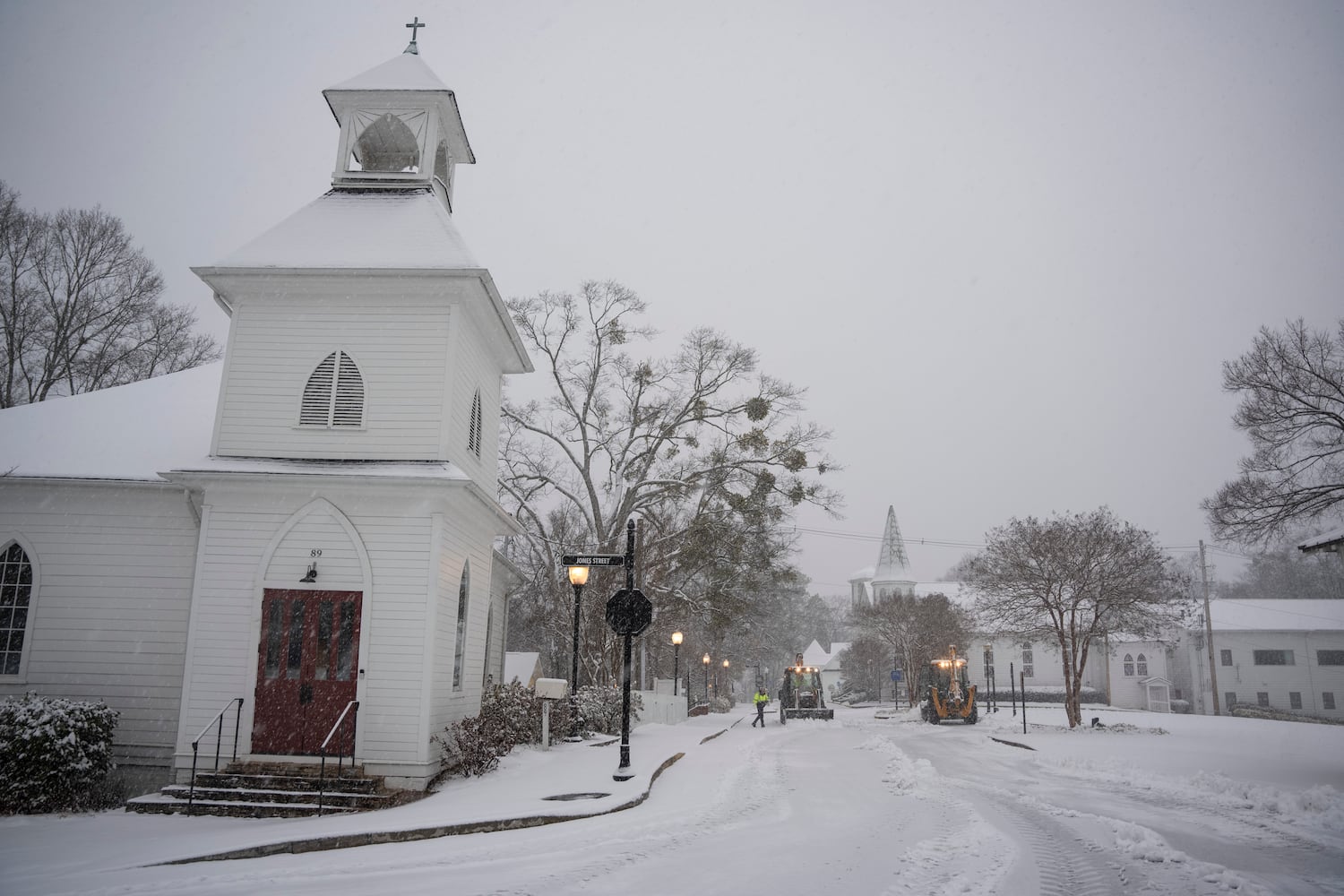
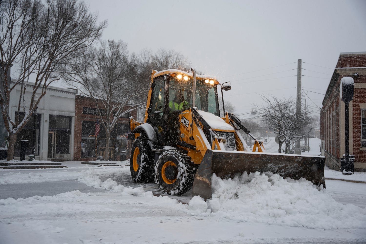
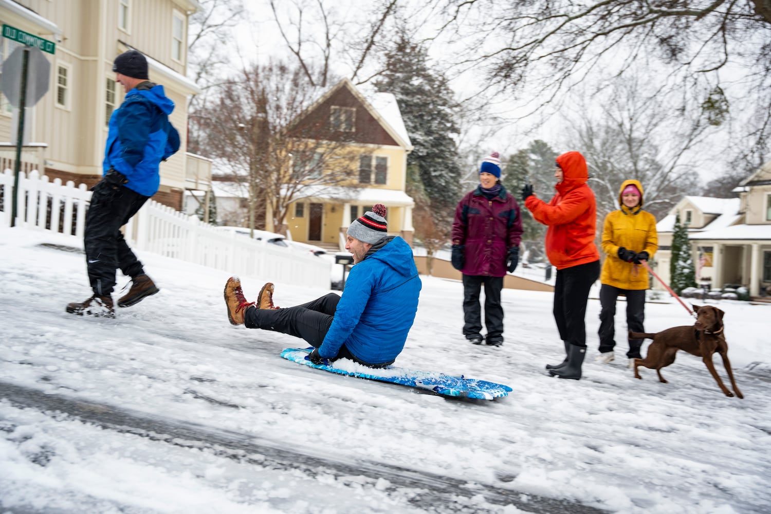
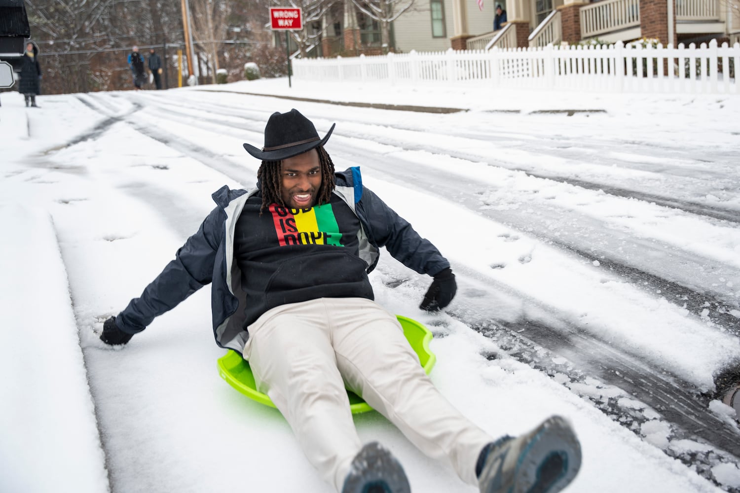
Snow covered metro Atlanta on Friday as a winter storm bore down across North Georgia, causing numerous problems on the roads.
It was the most widespread snow the metro area has seen since January 2018. Up to 3½ inches of snow fell in some parts of the metro area. That is closer to what was initially predicted earlier this week, before an adjusted forecast called for less than an inch in Atlanta and no more than 2 inches in surrounding areas.
As the snowfall ended, Georgia officials urged drivers to stay off the roads until Sunday amid a treacherous combination of snow, rain and freezing temperatures. Across the metro area, up to a third of an inch of ice is projected, according to the National Weather Service.
A winter storm warning is in effect through 7 a.m. Saturday. It covers all of North Georgia from the Tennessee and North Carolina lines, south through metro Atlanta into Griffin and as far southwest as Heard County and southeast as Lincoln County.
Read the recap below of Friday’s live updates. The Atlanta Journal-Constitution will resume our live coverage on Saturday morning.
The Georgia Department of Public Safety said since 12:01 a.m. through 8 p.m. Friday, troopers have responded to 1,376 calls for service, 269 total crashes and 203 motorist assists statewide.
A 10-year-old boy was injured Friday after hitting an embankment while sledding in the snow in Atlanta, according to the fire department.
The incident occurred just before 4 p.m., when firefighters rescued him from the bottom of the embankment near Northcliffe Drive and Peachtree Creek.
The boy was taken to a hospital for "precautionary measures," authorities said.
All eastbound lanes of I-20 at mile marker 82 in Conyers are closed due to downed power lines, the Georgia Department of Transportation said.
Ice accumulation and other hazards continue to bring down power lines across Georgia.
By around 8 p.m., Georgia Power reported over 60,000 outages,
Georgia EMC, serving primarily rural areas, had more than 30,000 customers without power.
The winter storm that hit metro Atlanta on Friday morning will delay the start of Atlanta United’s preseason camp.
The storm led to a delay in the mandatory medical examinations that precede preseason camp. They were scheduled for Saturday and Sunday, with the first field session of camp scheduled for Monday.
The medicals start date now is scheduled for Sunday, with the date and times for the first training session to be determined.
This is the first training camp for Director of Soccer Operations Chris Henderson and Manager Ronny Deila.
As winds pick up, temperatures drop and freezing rain continues to fall and turn to ice on power lines and tree branches, power outages were beginning to increase across Georgia as the sun set Friday.
Just before 6 p.m., Georgia Power's outage map showed more than 32,000 of its 2.7 million customers were without power, a sharp uptick from just a few hundred in the middle of the afternoon. Most were around metro Atlanta.
In a news release earlier Friday, Georgia Power said it was possible outages could increase with "additional ice accumulation, falling trees or weather-related causes." The company said it has moved crews from South Georgia to help and can call on additional reinforcements from other utilities under its parent company, Southern Company, and others from Florida.
Georgia's electric membership cooperatives were also facing rising outages. Georgia EMC, which represents the cooperatives that primarily serve rural parts of the state, showed its members had just under 31,000 customers without power at 6 p.m. Most of those were also in counties surrounding metroAtlanta.
All Metro Atlanta YMCA branches will remain closed Saturday due to the winter storm.
The branches were also closed Friday.
Members are advised to check for updates on Sunday's opening time on the YMCA website or app.
MARTA bus service will remain suspended Friday evening due to hazardous road conditions, the transit said.
Service will resume when the conditions approve, MARTA said. Forecasters are expecting temperatures to drop below freezing overnight, creating dangerous ice conditions on roadways.
Rail service is currently on a weekend schedule, MARTA said.
Check itsmarta.com for additional details.
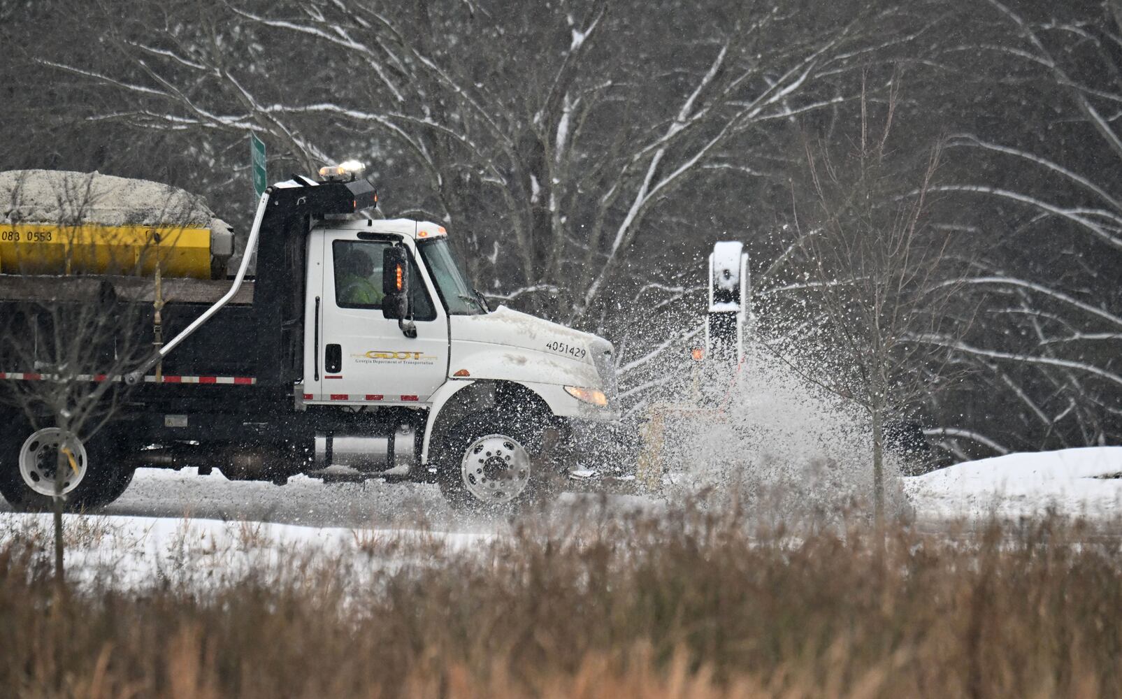
The Georgia Department of Transportation plans to apply more brine to interstates and state routes before temperatures drop this evening, spokesperson Scott Higley said.
More than 300 machines were deployed Friday afternoon to plow the roads across the state, with a focus on those that are heavily trafficked by emergency vehicles.
Starting around 6 p.m., crews will head back out on the plowed roadways and apply additional brine to protect against re-freezing.
In the first round of storm preparations, GDOT crews treated more than 20,000 lane miles with more than one million gallons of brine. The salty water mix keeps ice from forming. Most roads in the affected storm area were treated at least once before the snow began falling Friday morning, and interstates were treated twice.
As the sun sets, temperatures in North Georgia are expected to drop below freezing, according to the National Weather Service.
And all of the winter slush on the roads will refreeze, making roads sheets of ice, forecasters advised. That means driving will be even more dangerous.
Channel 2 Action News chief meteorologist Brad Nitz says the ice could be around into early Sunday.
"As the precipitation finally tapers off, the impacts will continue because overnight and into Saturday morning, as temperatures dip down below freezing, everything that’s wet and slushy is going to freeze to start the day Saturday," Nitz said.
Law enforcement agencies have advised staying off the roads.

